Mt. Whitney Webcam 1

Webcam 1 Legend
Mt. Whitney Webcam 2

Webcam 2 Legend
Mt. Whitney Timelapse
Owens Valley North

Owens Valley North Legend
Owens Valley South

Owens Valley South Legend
Previous Thread
Next Thread
Print Thread
#95374 06/11/13 04:37 PM
Joined: Jun 2003
Posts: 5,443
Likes: 9
Member
Member

Joined: Jun 2003
Posts: 5,443
Likes: 9


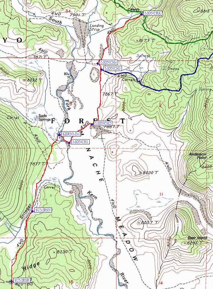
Any of you Four Wheelers know if the 4WD roads north and south of Dear Island are still open?

In case you're wondering... I've almost completed the PCT from Walker Pass up to Yosemite, but need a few pieces between 10 miles north of Kennedy Meadows Campground and Trail Pass. (I've done very short sections south of Trail Pass and around Olancha Peak.)

I don't want to go over Olancha Pass twice, but I don't think I want to head south from the pass to tag my "highpoint" above Beck Meadows and then head north towards Horseshoe Meadows. Instead, I'd like to ride a motorcycle to Monache, do the short up and back to Olancha Pass...

Last edited by Richard P.; 06/11/13 04:38 PM. Reason: BTW, t(o)ens of Thru Hikers on the PCT yesterday... http://piotrowski.smugmug.com/Whats-New-1/Pacific-Crest-Trail-Twenty/29924295_qDwVkp#!i=2568238270&k=DTZ79xw
Joined: Jan 2003
Posts: 2,446
Ken
Member
Member

Joined: Jan 2003
Posts: 2,446
Richard, email me for the details

Joined: Jun 2003
Posts: 5,443
Likes: 9
Member
Member

Joined: Jun 2003
Posts: 5,443
Likes: 9
That Was Easy...

...Except for the second crossing of the South Fork of the Kern River... (sissy wandered for quite a ways looking for a crossing that wouldn't require shoes off or wet shoes)

Made it all the way down to the bottom of the above map, where there are several Wilderness Signs telling you not to use mechanical devices anymore.

Less than 2 miles to get to my previous point on the PCT...
Less than 7 miles total to get to the Olancha Pass Trail junction...
Less than 11 miles total...

The ride in to Monache Meadows is always a blast when there's no one else around... a few campers at the first campsites off of the paved road and a couple (man and woman) way back in there.

Now it's just a matter of Sage Flat to Horseshow Meadow via Mulkey Pass.

Last edited by Richard P.; 06/14/13 02:22 AM. Reason: Lots more PCT Thru Hikers today too.
Joined: Jun 2003
Posts: 5,443
Likes: 9
Member
Member

Joined: Jun 2003
Posts: 5,443
Likes: 9
Doc, your pol.net email address bounced...

Joined: Jan 2003
Posts: 2,446
Ken
Member
Member

Joined: Jan 2003
Posts: 2,446
new email is @dr.com


Moderated by  Bob R, Doug Sr 

Link Copied to Clipboard
Mt. Whitney Weather Links


White Mountain/
Barcroft Station

Elev 12,410’

Upper Tyndall Creek
Elev 11,441’

Crabtree Meadows
Elev 10,700’

Cottonwood Lakes
Elev 10,196’

Lone Pine
Elev. 3,727’

Hunter Mountain
Elev. 6,880’

Death Valley/
Furnace Creek

Elev. -193’

Powered by UBB.threads™ PHP Forum Software 8.0.0
(Release build 20240826)
Responsive Width:

PHP: 7.4.33 Page Time: 0.128s Queries: 24 (0.114s) Memory: 0.7107 MB (Peak: 0.7687 MB) Data Comp: Off Server Time: 2025-06-10 05:43:50 UTC
Valid HTML 5 and Valid CSS