Mt. Whitney Webcam 1

Webcam 1 Legend
Mt. Whitney Webcam 2

Webcam 2 Legend
Mt. Whitney Timelapse
Owens Valley North

Owens Valley North Legend
Owens Valley South

Owens Valley South Legend
Previous Thread
Next Thread
Print Thread
Joined: Nov 2009
Posts: 20
Member
Member

Joined: Nov 2009
Posts: 20
Has anybody been up to cottonwood lakes or camped at horseshoe meadows the past couple weeks? Ranger station told me the campground is officially closed, but the road is still open to people who want to camp there. The trail some ice on it with solid snow past the lakes. I'm planning on going up there this coming weekend for some winter camping and day hike.
thanks.

Joined: Jun 2003
Posts: 5,449
Likes: 12
Member
Member

Joined: Jun 2003
Posts: 5,449
Likes: 12
http://piotrowski.smugmug.com/Whats-New-1/Cirque-Peak-October-24-2009/10092982_Z4sPC#692755064_napH5

Some photos of the area from a climb of Cirque Peak that Mike Mellin and I did a few weeks ago.

There wasn't any snow on the drive up. The temp dropped 20 degrees from the east to the west side of the road up. It seemed a lot colder than in the Whitney area.

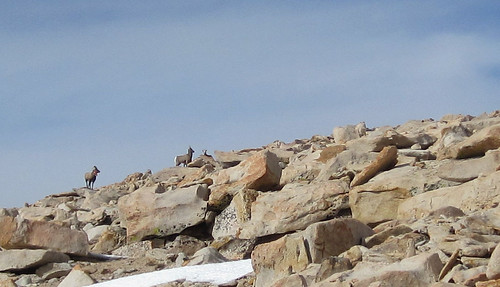
We used the South Forks Trail to get to the south side of Cirque. I don't remember there being much snow until we were near the base of the climb.

If the campground is closed, you'll have to bring your own water, or use the streams.

Joined: Nov 2009
Posts: 20
Member
Member

Joined: Nov 2009
Posts: 20
thanks for the info. We will probably do a quick day hike to Cottonwood lakes, then stay at the campground saturday night (if the weather is still good).

Joined: Jul 2003
Posts: 9
Member
Member

Joined: Jul 2003
Posts: 9
Bob was up there yesterday; posted a trip report at whitneyzone.com

One of the pictures:


Joined: Nov 2009
Posts: 20
Member
Member

Joined: Nov 2009
Posts: 20
Thanks for the info, but forcast for this weekend is calling for a chance of snow.


Moderated by  Doug Sr 

Link Copied to Clipboard
Mt. Whitney Weather Links


White Mountain/
Barcroft Station

Elev 12,410’

Upper Tyndall Creek
Elev 11,441’

Crabtree Meadows
Elev 10,700’

Cottonwood Lakes
Elev 10,196’

Lone Pine
Elev. 3,727’

Hunter Mountain
Elev. 6,880’

Death Valley/
Furnace Creek

Elev. -193’

Powered by UBB.threads™ PHP Forum Software 8.0.0
(Release build 20240826)
Responsive Width:

PHP: 7.4.33 Page Time: 0.031s Queries: 24 (0.012s) Memory: 0.7076 MB (Peak: 0.7649 MB) Data Comp: Off Server Time: 2025-06-16 23:27:50 UTC
Valid HTML 5 and Valid CSS