Mt. Whitney Webcam 1

Webcam 1 Legend
Mt. Whitney Webcam 2

Webcam 2 Legend
Mt. Whitney Timelapse
Owens Valley North

Owens Valley North Legend
Owens Valley South

Owens Valley South Legend
Previous Thread
Next Thread
Print Thread
Joined: Apr 2023
Posts: 18
Member
Member

Joined: Apr 2023
Posts: 18

Joined: Dec 2002
Posts: 613
Member
Member

Joined: Dec 2002
Posts: 613
Absolutely gorgeous pictures.

I don't know how you do these hikes, especially this time with ALL the snow. Kudos!!!

However, your pictures did convince me to cancel my June 25th hike over Kearsarge Pass.

Thanks again for posting the pictures.

Paul

Joined: Jun 2003
Posts: 5,439
Likes: 9
Member
Member

Joined: Jun 2003
Posts: 5,439
Likes: 9
The past few posts, I've been wondering...

The new Crazy Jack? (Still hoping Jack gets back to health that allows him to smoke the mountain again...)

As booger posted...there's still 4+' back there at Crabtree, and we all know...the farther north you go, the deeper the snow is going to be...

The positive about the snow sensors...Horseshoe has been reporting only 1" for the past few days...

I'm going up there, or Onion Valley tomorrow (unless I don't feel like gettting out of bed)...I'll post when I return...

Joined: Dec 2002
Posts: 613
Member
Member

Joined: Dec 2002
Posts: 613
Richard, get out of bed, now, and start hiking. This isn't a beach resort in Thailand.

I need your input. Either Onion Valley or Vottonwood Lakes works for me.

Paul

Joined: Apr 2023
Posts: 18
Member
Member

Joined: Apr 2023
Posts: 18
I'm still debating, if I should try Shepherd Pass or Kearsarge Pass to Whitney crazy

Joined: Dec 2002
Posts: 613
Member
Member

Joined: Dec 2002
Posts: 613
May I make a suggestion.

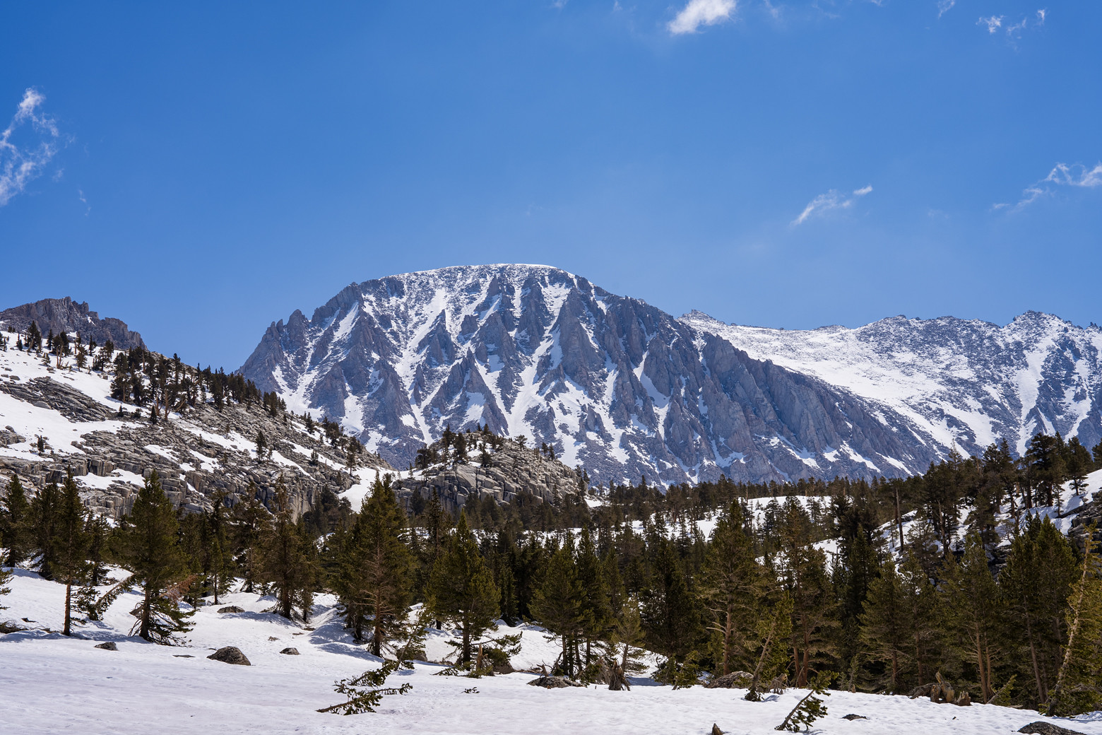
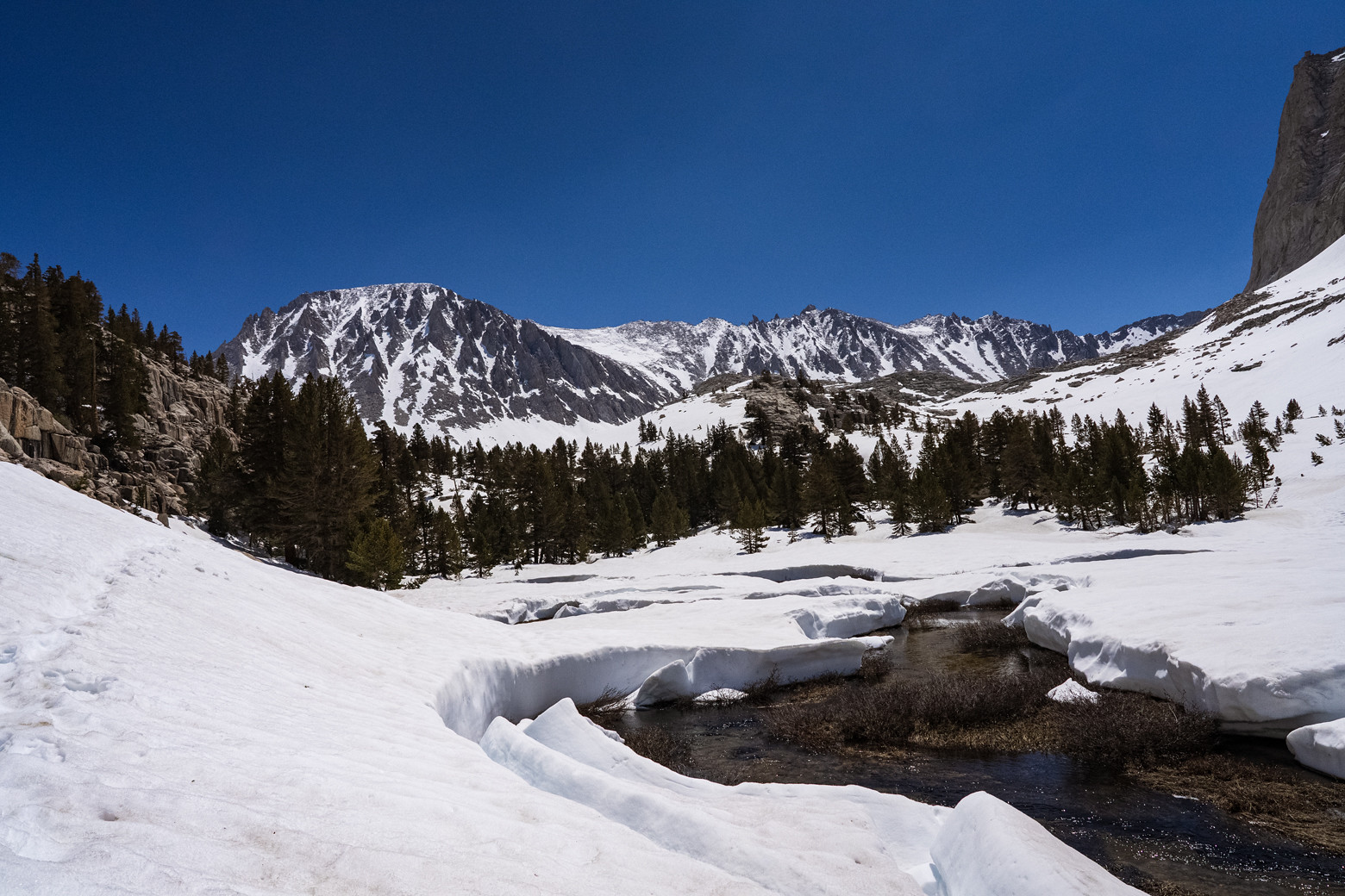
Take Kearsarge Pass to the JMT, to Center Basin Junction, then up and over Junction Pass down to the Shepherd Pass Trail and take that trail to the Pass. From there, you're at the junction to Williamson and Tyndall. Or, continue down and cross over Rockwell Pass to Wright lakes. From there after continuing down the Wright Lake drainage (where the ridge and trees level off, go cross country to the Wallace Creek drainage (go up to Wallace Lake, Wales or even Tulainyo and over to Upper Boy scout. Or head on down to the JMT and continue to Whitney.
The backside of Junction is quite steep and difficult.
I have crossed over Junction twice and down to Shepherd Creek and over to Wallace. I have day hiked Junction over two dozen times. It's a great hike.

If you are interested in the route over to Upper Boy scout, Richard P can provide that info since he has on many occasions hiked this route.

Paul

Joined: Apr 2023
Posts: 18
Member
Member

Joined: Apr 2023
Posts: 18
Yes, really fun routes. I've been to all these places. Snow gets worse everyday now and I don't want to stuck there for too long or carry snowshoes.
I think I'll try a quick 2 days hike Onion Valley to Whitney. Also, I'm thinking to avoid switchbacks and go straight up from Guitar Lake(original western approach).


Moderated by  Bob R, Doug Sr 

Link Copied to Clipboard
Mt. Whitney Weather Links


White Mountain/
Barcroft Station

Elev 12,410’

Upper Tyndall Creek
Elev 11,441’

Crabtree Meadows
Elev 10,700’

Cottonwood Lakes
Elev 10,196’

Lone Pine
Elev. 3,727’

Hunter Mountain
Elev. 6,880’

Death Valley/
Furnace Creek

Elev. -193’

Powered by UBB.threads™ PHP Forum Software 8.0.0
(Release build 20240826)
Responsive Width:

PHP: 7.4.33 Page Time: 0.065s Queries: 28 (0.053s) Memory: 0.7256 MB (Peak: 0.7917 MB) Data Comp: Off Server Time: 2025-05-02 09:14:38 UTC
Valid HTML 5 and Valid CSS