Mt. Whitney Webcam 1

Webcam 1 Legend
Mt. Whitney Webcam 2

Webcam 2 Legend
Mt. Whitney Timelapse
Owens Valley North

Owens Valley North Legend
Owens Valley South

Owens Valley South Legend
Previous Thread
Next Thread
Print Thread
Joined: Feb 2016
Posts: 13
Member
Member

Joined: Feb 2016
Posts: 13
I tacked this question on to my other question, but no replies. I saw photos of this in the Mountaineers route subject heading, page 2.

Is the East Buttress approach to the MR different from the "normal" MR above Iceberg Lake? If not, why not, as it looks fun.

K

Joined: Mar 2009
Posts: 330
Member
Member

Joined: Mar 2009
Posts: 330
You can climb up as if you were going to do the East Buttress and then follow a “ramp” up and right into the MR chute. Many people go this way.

Joined: Feb 2016
Posts: 13
Member
Member

Joined: Feb 2016
Posts: 13
Thanks. How much of the scree slope does this avoid?

Joined: Dec 2002
Posts: 998
Likes: 2
Member
Member

Joined: Dec 2002
Posts: 998
Likes: 2
Dang, now I'm curious about where this "normal" route is. Is it shorter with less gain?

Joined: Jul 2007
Posts: 696
Member
Member

Joined: Jul 2007
Posts: 696
I think Bob is referring to the "cat walk", which avoids part of the right side chute. From Iceberg lake there is the large "main" chute on the right and to the left of that is a shorter and more narrow chute. At the top of this left-side chute there are a few yards of less steep area that connects the left side chute with the main chute on your right. This is sometimes referred to as the "cat walk". From Iceberg Lake this left chute can also take you to the start of the East Buttress and East Face routes. It is about at that point the "cat walk" angles to the right into the Mountaineer's Route chute proper.

If you are coming from Whitney-Russel col though you might as well take the main, right-side chute. In winter the right-side "main" chute is usually filled in with snow so not as much of a slog.

In summer though, coming up from Iceberg Lake, the left chute can be some fun scrambling and avoids some loose rock on the right (larger main chute).

Joined: Mar 2009
Posts: 330
Member
Member

Joined: Mar 2009
Posts: 330
James is right about the catwalk. I usually take the catwalk in the summer or fall.

There are many ways to go, but there is no “right” or “wrong” way. The more solid rock is a little more technically challenging. The looser rock may give you two steps up and one step sliding down. The snow (when it’s there) is sometimes the best way up. Just pick what looks the most appealing when you get there.

Joined: Dec 2002
Posts: 998
Likes: 2
Member
Member

Joined: Dec 2002
Posts: 998
Likes: 2
Thanks, James. It always confuses me. I followed an 8-year-old girl up there once and she was able to find a great path up without even touching the scree slope, but damned if I'd be able to remember where she went. Maybe if people going up this summer left cairns marking the exact way, that would be super awesome...

Joined: Jul 2007
Posts: 696
Member
Member

Joined: Jul 2007
Posts: 696
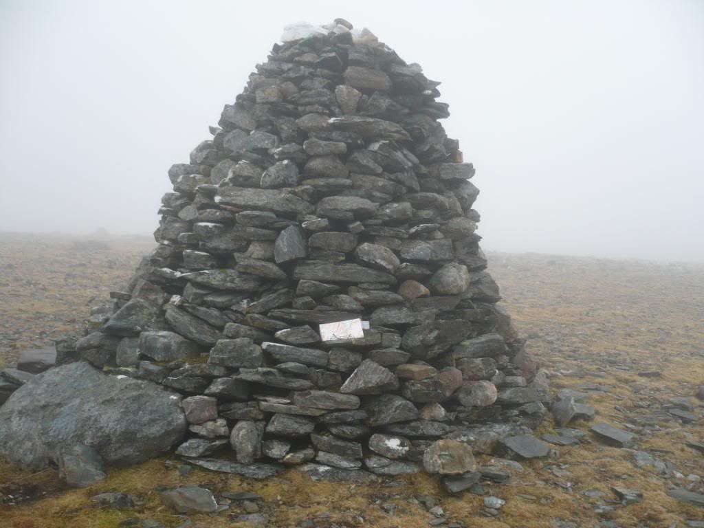
Jeff, That is in the works. Here are some of the cairns along the way.

Early on in the route:


This one is especially nice offering a bit of wind break during lunch break somewhere above UBSL:


This one also has a map with GPS coordinates:


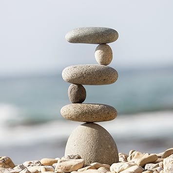
This one not actual size:


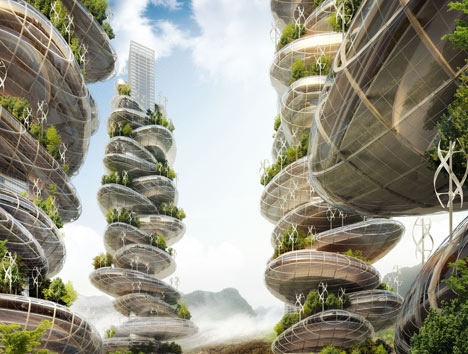
Artist's rendition of future Mt. Whitney cairns:


Joined: Jun 2009
Posts: 399
Member
Member

Joined: Jun 2009
Posts: 399
James and Jeff,

Thanks, my facial muscles are cramping now!
Love your humor!

Stacy


Moved to Bishop in 2012 and haven't looked back since...
Joined: Jul 2007
Posts: 696
Member
Member

Joined: Jul 2007
Posts: 696
What's so funny? smile

Joined: Dec 2002
Posts: 998
Likes: 2
Member
Member

Joined: Dec 2002
Posts: 998
Likes: 2
I know we're talking about the MR, but I always found this cairn diagram helpful for the Main Trail...


Joined: Jul 2007
Posts: 696
Member
Member

Joined: Jul 2007
Posts: 696
Funny but true! Good to have your "ducks" in a row.


Moderated by  Bob R, Doug Sr 

Link Copied to Clipboard
Mt. Whitney Weather Links


White Mountain/
Barcroft Station

Elev 12,410’

Upper Tyndall Creek
Elev 11,441’

Crabtree Meadows
Elev 10,700’

Cottonwood Lakes
Elev 10,196’

Lone Pine
Elev. 3,727’

Hunter Mountain
Elev. 6,880’

Death Valley/
Furnace Creek

Elev. -193’

Powered by UBB.threads™ PHP Forum Software 8.0.0
(Release build 20240826)
Responsive Width:

PHP: 7.4.33 Page Time: 0.030s Queries: 38 (0.015s) Memory: 0.7454 MB (Peak: 0.8361 MB) Data Comp: Off Server Time: 2025-06-16 23:29:49 UTC
Valid HTML 5 and Valid CSS