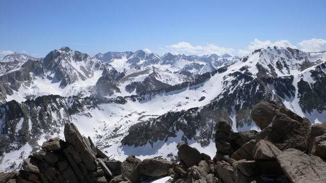
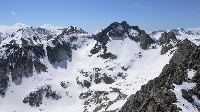
I would definitely recommend crampons. The snow on most aspects is very hard and not fun without points. Sun-protected northern slopes at 12K are generally bootable, but crampons are still nice for hard patches. Post-holing is minimal except around buried rocks and trees. Overall, solid footing with no need for snow shoes.
Cool, and thanks for the useful info. How long ago did you find those conditions, and did it soften up in the afternoon? When you say "hard", do you mean wind scoured hard, or frozen corn hard?