Mt. Whitney Webcam 1

Webcam 1 Legend
Mt. Whitney Webcam 2

Webcam 2 Legend
Mt. Whitney Timelapse
Owens Valley North

Owens Valley North Legend
Owens Valley South

Owens Valley South Legend
Previous Thread
Next Thread
Print Thread
Page 2 of 2 1 2
Joined: Aug 2011
Posts: 245
Member
Member

Joined: Aug 2011
Posts: 245
A quick hike with my son a couple of weeks ago.


Here's a link to the trip report and full gallery:

Hiking with Kids: Oak Glen Preserve, September 5 2015

Joined: Aug 2011
Posts: 245
Member
Member

Joined: Aug 2011
Posts: 245
As usual, an abbreviated schedule, but lately it's either been hike fast or stay home.

After telling me I'm crazy all summer, some of my co-workers have started joining me on my hikes. I'm not sure how long they'll stick with it, but for now I'd say they're hooked. laugh

Short trip report along with 50+ photos are posted here:
North Fork of Big Pine Creek: Lakes 1-3, Sam Mack Meadow & Beyond, October 3, 2015

Here are some highlights. Clicking a photo will bring you to the page listed above.
Mirian taking a break


Aspens showing their fall colors


Riley and I


Temple Crag


The group, stopping for a photo before descending

Joined: Aug 2011
Posts: 245
Member
Member

Joined: Aug 2011
Posts: 245
Our 3rd and toughest training hike, leading up to our Cactus to Clouds hike on Oct 24.

Stats as tracked by my GPS:
Dawson Peak, Pine Mt. and Mt. Baldy via N. Backbone || Distance: 13 mi || Duration: ~9 hours || Gain/Loss: ±6,000′ || Net Elevation Gain (at Max Elevation): +2,040′ || Max Elevation: 10,068′ || Difficulty: Strenuous

Here is a link to the full trip report and photos:
Dawson Peak, Pine Mt. and Mt. Baldy via N. Backbone, 10/11/15

and some highlights:


A few minutes before sunrise, near the summit of Pine


The moment I realize where the trail was


The climb up from Baldy-Dawson Saddle


On the summit


Photo op with a SnackingBear


Back at the trailhead. Pine Mt in the large mountain behind us, Baldy or West Baldy can be seen in the distance (SB will know which one it is)

Joined: Aug 2011
Posts: 245
Member
Member

Joined: Aug 2011
Posts: 245
Location: Whitewater CA

A quick training hike the weekend before our C2C attempt.
Whitewater Preserve, October 17 2014

White Water Canyon Preserve Exploration || Distance: 7 mi || Duration: ~4 hours || Gain/Loss: ±1,280′ || Net Elevation Gain (at Max Elevation): +1,206′ || Max Elevation: 3,405′ || Difficulty: Easy


The view for our 'summit.'


Group Photo


San Jactino's profile. C2C climbs from the desert floor ~515' to ~10,800'


Our 'summit.' You can see Riley (my dog) and Mirian (red jacket) coming down the ridge

Joined: Aug 2011
Posts: 245
Member
Member

Joined: Aug 2011
Posts: 245
My 3rd and toughest C2C - lessons learned about choosing hiking partners and following my intuition.

Cactus to Clouds – October 24 2015
Cactus to Clouds, via Lykken and Skyline Trail || Distance: ~23 mi || Duration: ~14 hours || Gain/Loss: +13,400'/-2,300' (per Backpacker.com) || Net Elevation Gain (at Max Elevation): +10,319' || Max Elevation: 10,834'; || Difficulty: Strenuous

Some photos:
Sunrise


Watching Sunrise:


Group Photo on the summit


SnackingBear and I on the summit.

Joined: Aug 2011
Posts: 245
Member
Member

Joined: Aug 2011
Posts: 245
I believe the WPSMB was down when I originally logged on to post this trip report, so here it is:
__________________________________________________

I finally finished up my photos from my Banner Peak & Thousand Island Lake trip last month.

Here are links to the three blog posts associated with my trip:

Trail, Water & Smoke Conditions

Banner Peak Backpack, Day 1 - Rush Creek to 1000 Isl Lake

Banner Peak Backpack, Day 2 – 1000 Isl Lake to Banner Peak to Rush Creek

Here are some highlights.

Day 1:


Day 2:


Joined: Aug 2011
Posts: 245
Member
Member

Joined: Aug 2011
Posts: 245
I wasn't able to head out for a 'real' hike the last two weekends, but was able to get away for an hour or two.

Do you guys have a local hill or mountain that you use for training or for when you can't get away for the day?

Blue Mountain || Distance: ~3.16 mi || Duration: 1hr 25m || Gain/Loss: ±1,258′ || Net Elevation Gain (at Max Elevation): +982′ || Max Elevation: 2,406′ || Difficulty: Easy, but steep

Hiking with Dogs: Blue Mountain, November 8 2015

Riley is excited to get out for a while. San Bernardino Peak is the high point in the distance.


San Gabriel Mountains Behind Us


Wild burrows (sorry for the weird lens flare)


Nearing the summit


Joined: Aug 2011
Posts: 245
Member
Member

Joined: Aug 2011
Posts: 245
For a few months, I had been toying with the idea of having guest bloggers submit stories to HikingGeek.com. I've been talking with Tammy via Instagram and Facebook for a few months and decided she'd be a great candidate - while my TRs tend be to fact based and somewhat dry, she tends to focus on the human aspect of hiking. Here's a link to her first entry, as well as some highlights.
Journey to Split Mountain, by Guest Blogger Tammy L


Joined: Aug 2011
Posts: 245
Member
Member

Joined: Aug 2011
Posts: 245

San Jacinto and SGW Time Lapse vids

My first two attempts at making a long time lapse video. Hopefully they get better:

http://www.hikinggeek.com/2015/12/03/hiking-with-dogs-blue-mountain-november-21-2015/

Joined: Aug 2011
Posts: 245
Member
Member

Joined: Aug 2011
Posts: 245

Joined: Aug 2011
Posts: 245
Member
Member

Joined: Aug 2011
Posts: 245
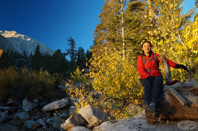
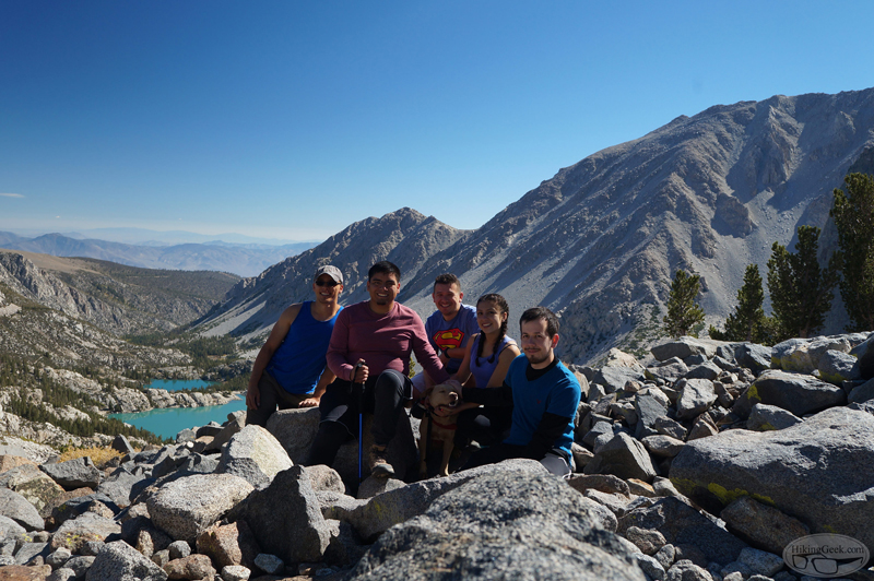
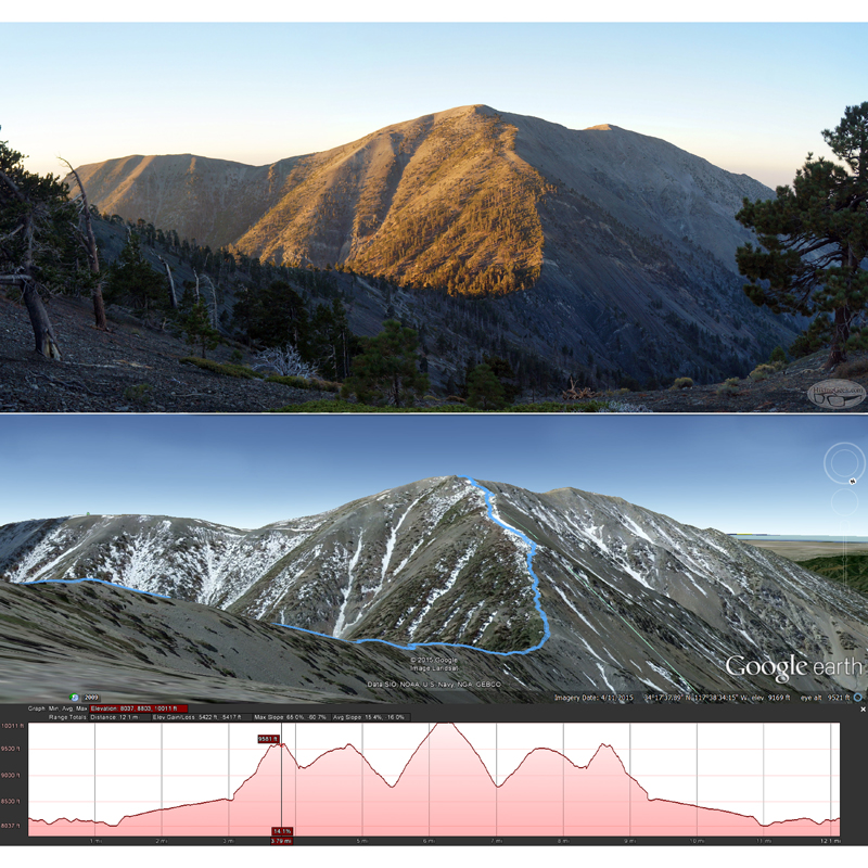
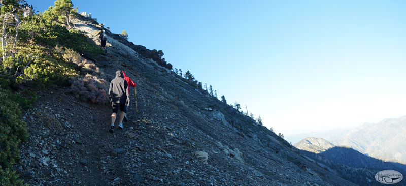
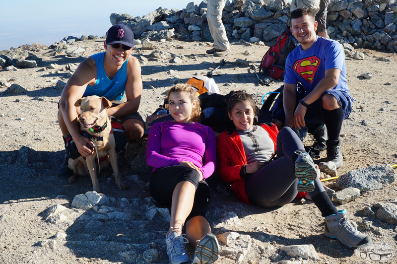
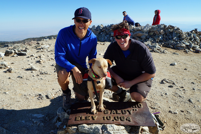
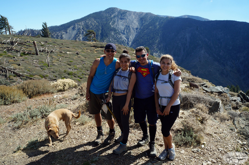
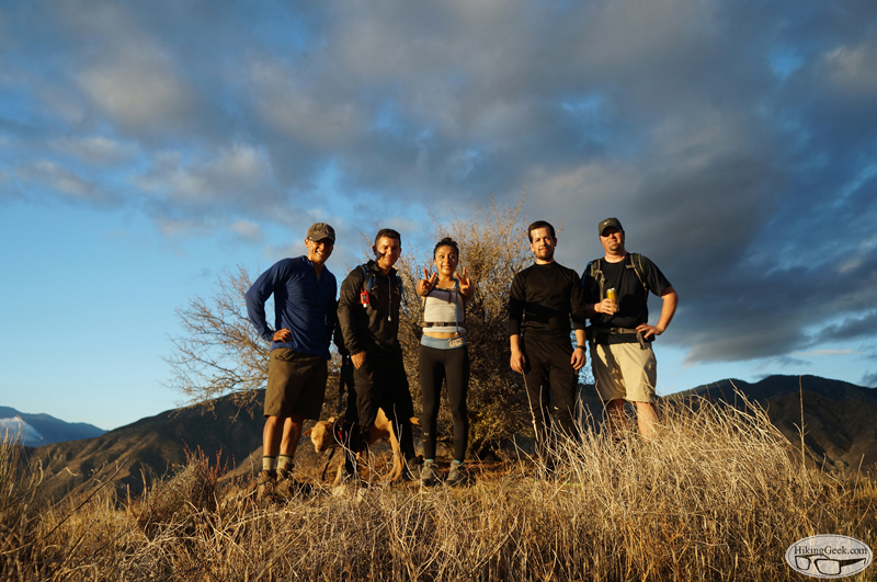
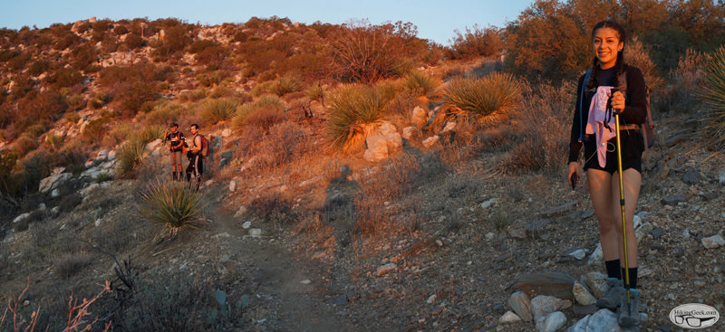
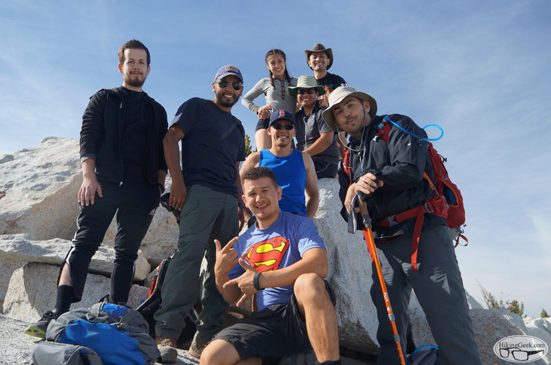
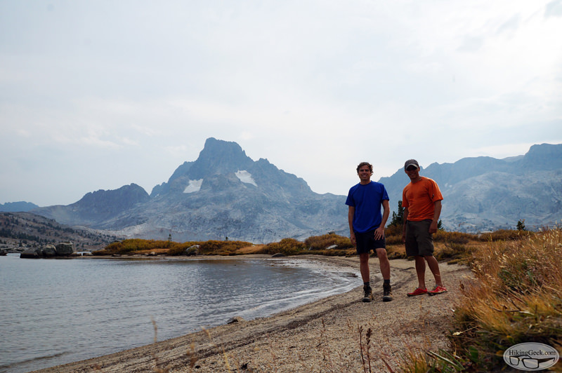
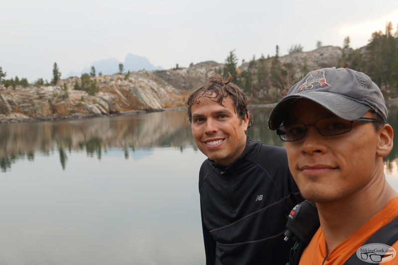
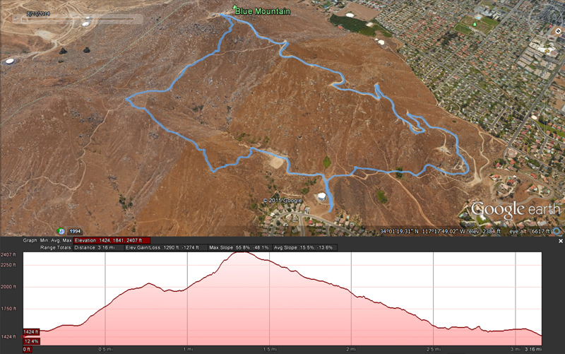
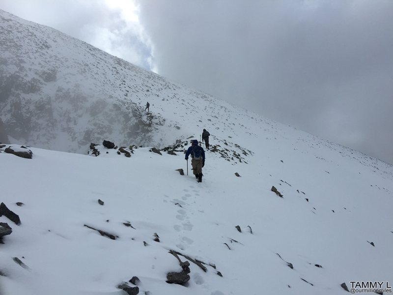
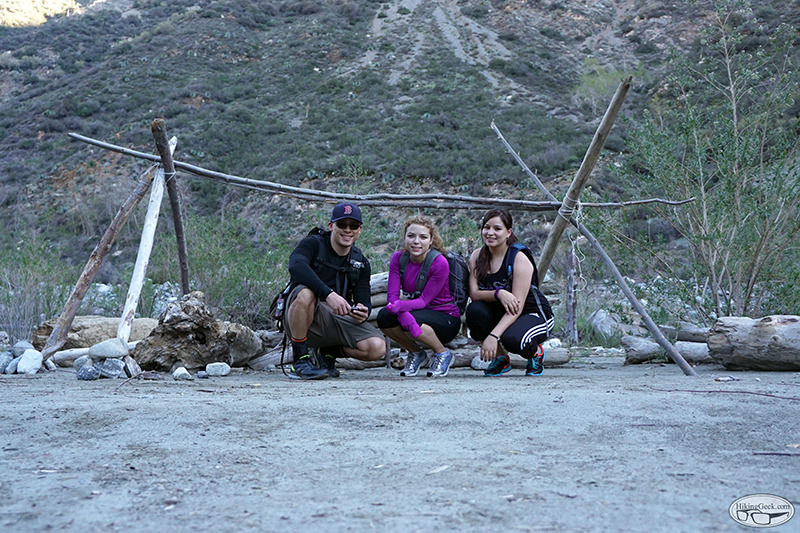
Some friends and I joined some hikers going for their 3rd peak in the SoCal Hiker 6 Pack of Peaks Challenge. Here is our route:


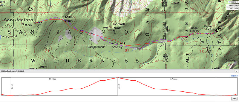
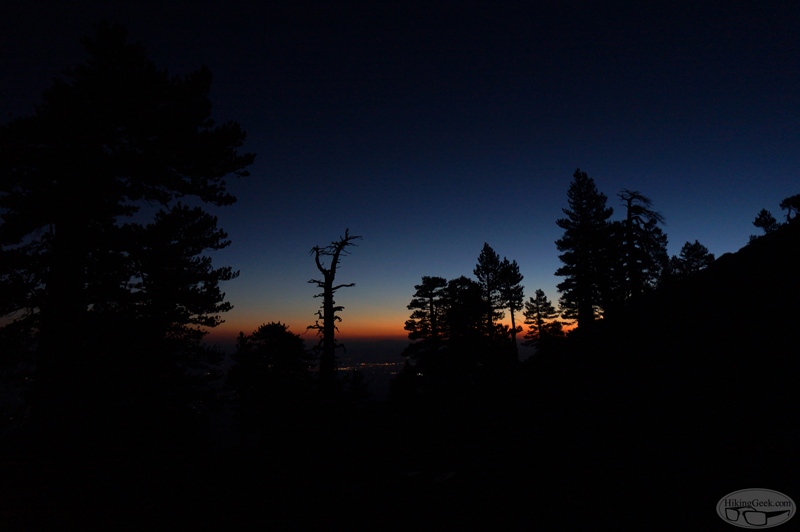
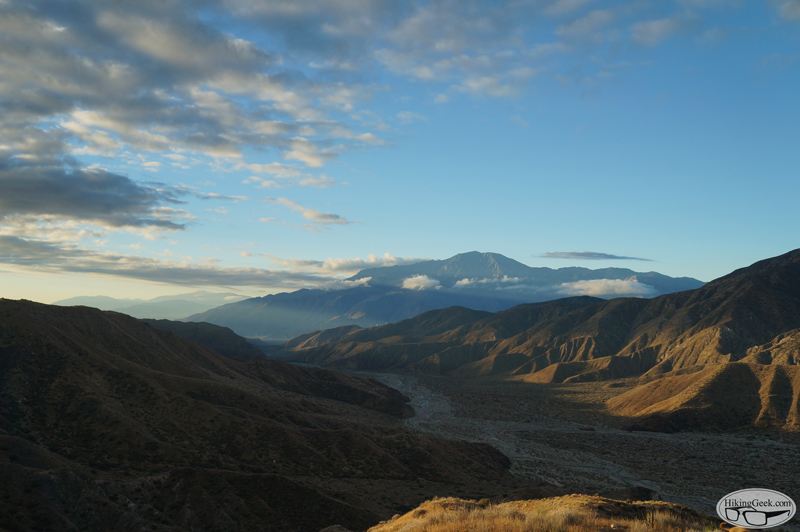
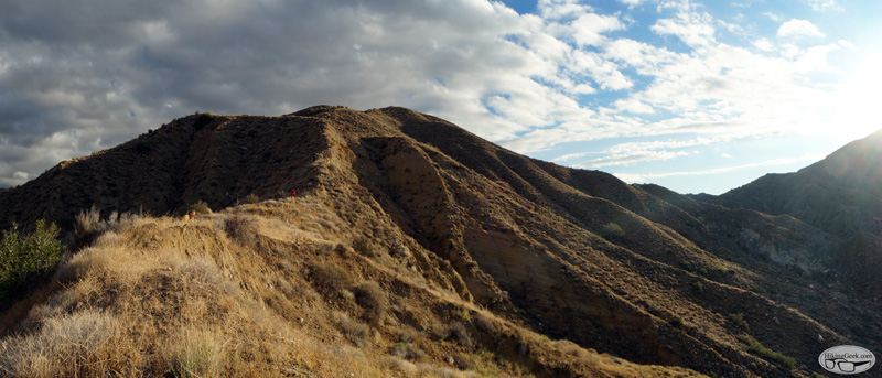
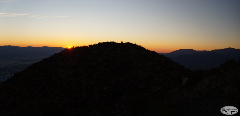
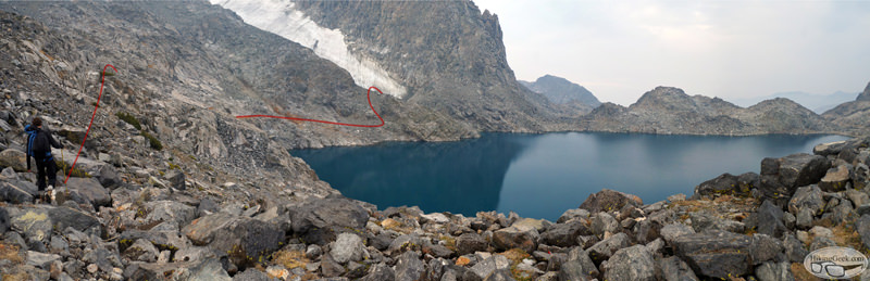
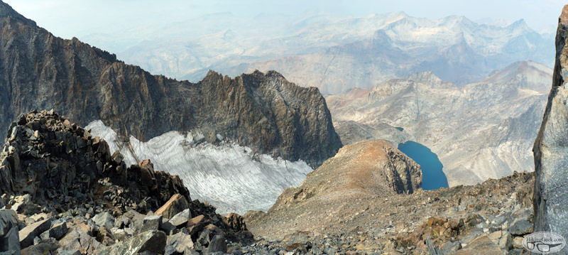
Some notes on trail and snow conditions:

*From the end of the ramp for the tram until we reached an elevation of about 9200 ft, everyone in the group used microspike style traction(something that uses an elastomer harness – ie microspikes, trail crampons, yaktrax, ICETrekkers).

*At 9200 ft, we started postholing, so we used snowshoes. Snowshoes were used all the way to Miller Peak and across to San Jacinto. For most of the ascent, the snow was perfect for mountaineering/backcountry snowshoes; hard enough that our snowshoes had something to grip to, but not so hard we were sliding around. We did find some isolated areas of powder that made the climb a bit more difficult.

*On our descent, we used snowshoes all the way back to the ranger station. Since the snow has softened significantly, the snowshoes were useful at elevations below 9200 ft. To keep using our snowshoes, we stayed north of the lower sections of the Sid Davis Route.

I've posted a few photos on my blog (full trip report and gallery coming later). You can see them here:
Trail/Snow Conditions: San Jacinto & Miller Peaks, 1/23/16

Joined: Aug 2011
Posts: 245
Member
Member

Joined: Aug 2011
Posts: 245
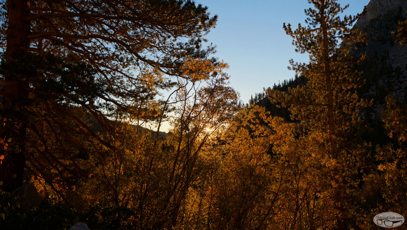
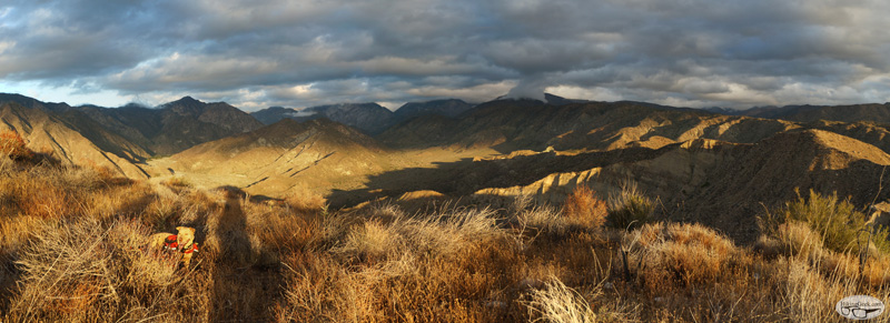
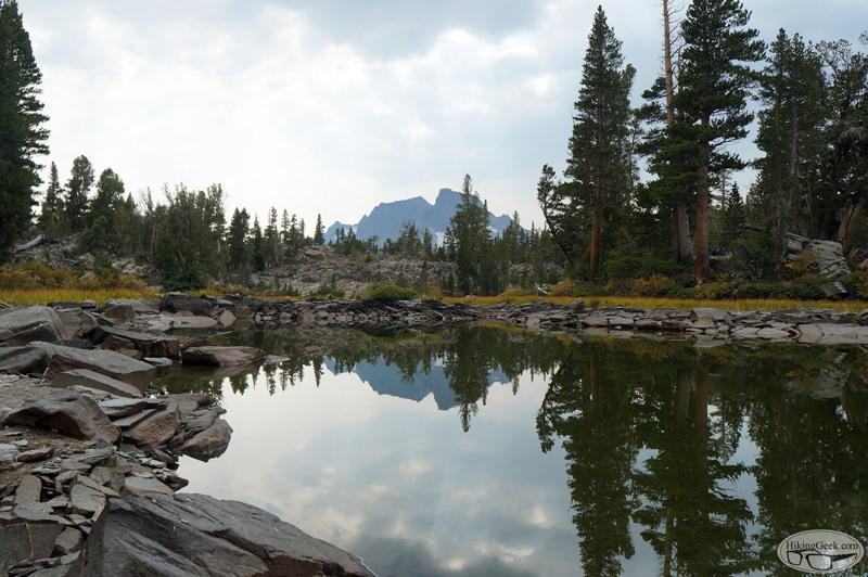
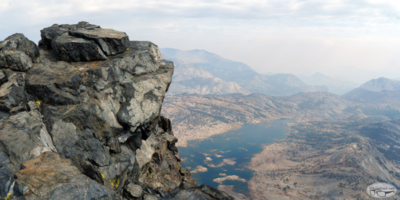
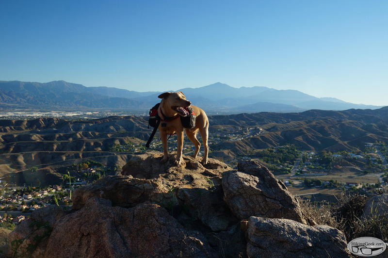
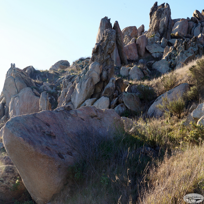
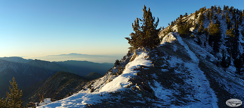
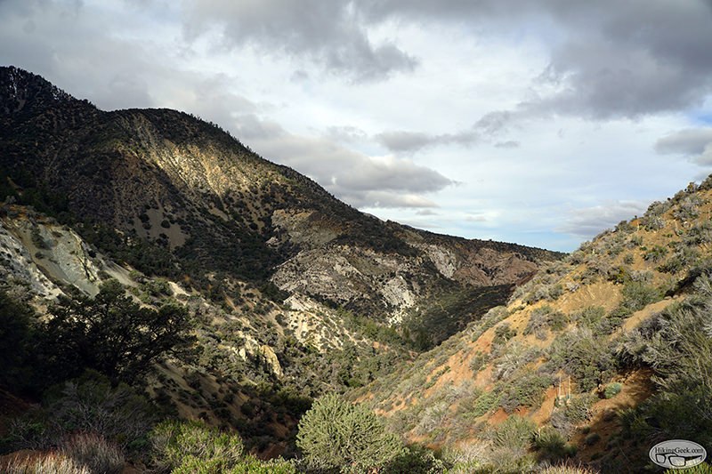
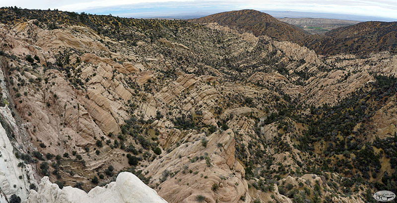
The area surrounding Devil’s Chair is known for it’s unique geology. Looking across the canyon (called the Devil’s Punchbowl) you can see how the San Andreas fault has changed the landscape. The area is very interesting and I wished I had spent more time exploring there before moving.

Here are some highlights. Clicking on any of the photos will bring you to the full gallery.
Devil’s Chair via South Fork/Big Rock Creek


Joined: Aug 2011
Posts: 245
Member
Member

Joined: Aug 2011
Posts: 245
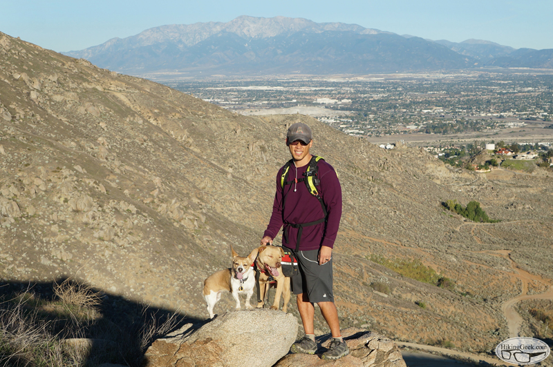
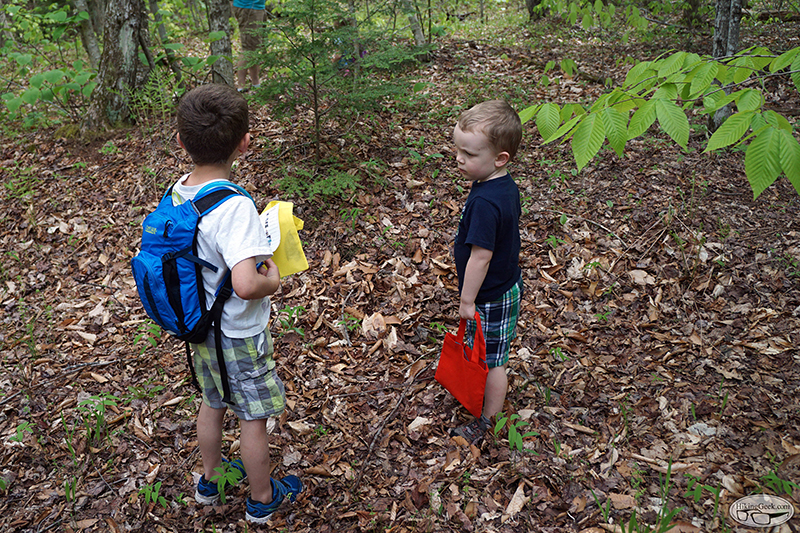
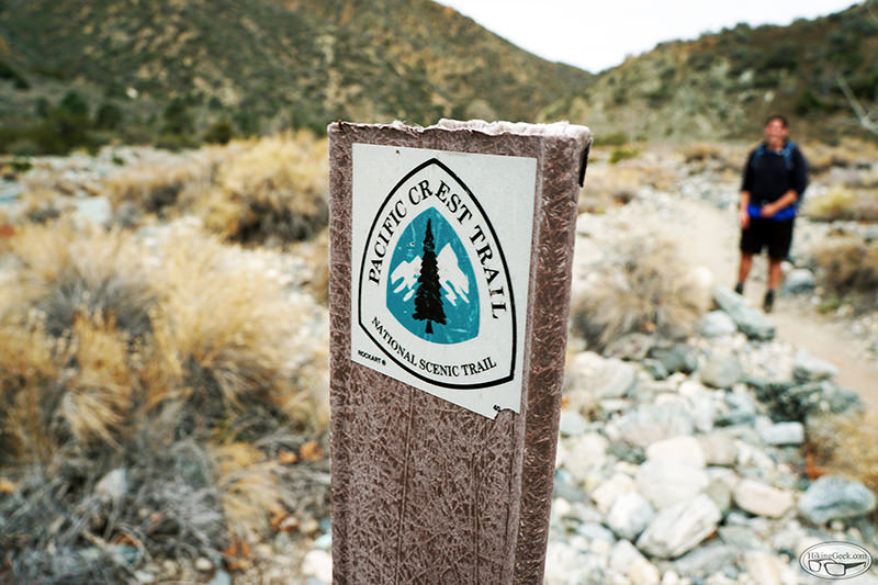
Photos: Bridge to Nowhere

This hike had been on radar for a couple of years, but with the CA drought, we always decided to hike other areas. Luckily only a couple of weeks before I left CA, we had a nice day with some recent rainfall. I decided it was finally time to see the Bridge to Nowhere. It’s a great hike for beginners. If you’re just starting yourself or are looking for a place to bring friends that you want to introduce to hiking, I highly recommend it.

Here are some highlights. Clicking on any of the photos will bring you to the full gallery.
Photos: Bridge to Nowhere


Joined: Aug 2011
Posts: 245
Member
Member

Joined: Aug 2011
Posts: 245
Kids to Parks Day 2016, Lake Solitude Hike & Scavenger Hunt

We had a great Kids to Parks Day! KTP Day is a nation-wide day of outdoor play organized by the National Park Trust (NPT) in cooperation with a host of local and national collaborators. Our group of 16 (9 adults, 7 kids) enjoyed a scavenger hunt as they hiked to Lake Solitude, located in Sunapee NH. Everyone had a great time!

Here are some highlights. Clicking on a photo below will bring you to the full gallery.


Last edited by 63ChevyII; 05/29/16 07:52 PM.
Page 2 of 2 1 2

Moderated by  Bob R, Doug Sr 

Link Copied to Clipboard
Mt. Whitney Weather Links


White Mountain/
Barcroft Station

Elev 12,410’

Upper Tyndall Creek
Elev 11,441’

Crabtree Meadows
Elev 10,700’

Cottonwood Lakes
Elev 10,196’

Lone Pine
Elev. 3,727’

Hunter Mountain
Elev. 6,880’

Death Valley/
Furnace Creek

Elev. -193’

Powered by UBB.threads™ PHP Forum Software 8.0.0
(Release build 20240826)
Responsive Width:

PHP: 7.4.33 Page Time: 0.060s Queries: 43 (0.043s) Memory: 0.7844 MB (Peak: 0.9186 MB) Data Comp: Off Server Time: 2025-06-10 04:06:24 UTC
Valid HTML 5 and Valid CSS