Mt. Whitney Webcam 1

Webcam 1 Legend
Mt. Whitney Webcam 2

Webcam 2 Legend
Mt. Whitney Timelapse
Owens Valley North

Owens Valley North Legend
Owens Valley South

Owens Valley South Legend
Previous Thread
Next Thread
Print Thread
#84405 05/23/11 02:13 AM
Joined: Sep 2007
Posts: 247
Member
Member

Joined: Sep 2007
Posts: 247
Hi all,

For those of you have climbed Birch Mtn, how is access to the trialheads in a normal rental vehicle? Is 4wd needed to get to the trailhead for the South slopes?

Has anyone been up there lately?

nyker #84415 05/23/11 06:03 AM
Joined: Oct 2008
Posts: 138
Member
Member

Joined: Oct 2008
Posts: 138
i was there two weeks ago. you can get close to the TH with a 2wd car stopping at the waypoint BIRCHJ. walk from there to the TH. high clearance vehical can get you to the cattle guard/gate which is maybe 50 feet from the official trailhead. more driving directions in the link. as for conditions, you can get all the way to Birch Lake in trailrunners if you can manage a couple of snowfields around 10k'. one of the most barren trails of the Eastern Sierra.

http://climber.org/driving/redlake.html


When in doubt, go up.
Joined: Dec 2002
Posts: 499
Member
Member

Joined: Dec 2002
Posts: 499
Follow Kevin's info above if you are heading to Birch Lake. For ascending the south side of Birch Mountain itself you would be better off to continue to the point on his map called McMury (McMury Meadows) and start your climb there. Normally passable in a 2WD low clearance rental car. It isn't really a trailhead so don't expect signage, etc.

Scott M. #84442 05/24/11 04:01 AM
Joined: Sep 2007
Posts: 247
Member
Member

Joined: Sep 2007
Posts: 247
ok, thanks guys.

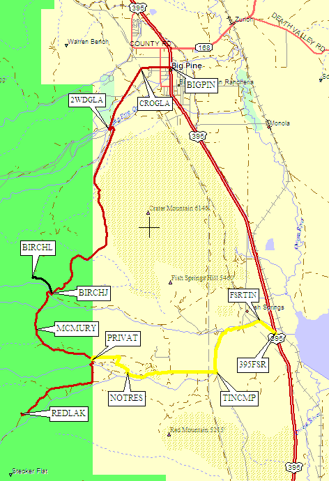
Will McMury Meadows be a fairly obvious place to identify?

How far is it from the BIRCHJ to McMURY waypoints here? Are any permits needed to park here?

Also, do you have a rough estimate of the roundtrip mileage? I am assuming it is around 6500-7000ft vertical gain?

Latsly, for next week, should I assume snow starts around 9500?


Moderated by  Bob R, Doug Sr 

Link Copied to Clipboard
Mt. Whitney Weather Links


White Mountain/
Barcroft Station

Elev 12,410’

Upper Tyndall Creek
Elev 11,441’

Crabtree Meadows
Elev 10,700’

Cottonwood Lakes
Elev 10,196’

Lone Pine
Elev. 3,727’

Hunter Mountain
Elev. 6,880’

Death Valley/
Furnace Creek

Elev. -193’

Powered by UBB.threads™ PHP Forum Software 8.0.0
(Release build 20240826)
Responsive Width:

PHP: 7.4.33 Page Time: 0.037s Queries: 22 (0.012s) Memory: 0.7055 MB (Peak: 0.7550 MB) Data Comp: Off Server Time: 2025-06-12 10:48:04 UTC
Valid HTML 5 and Valid CSS