Mt. Whitney Webcam 1

Webcam 1 Legend
Mt. Whitney Webcam 2

Webcam 2 Legend
Mt. Whitney Timelapse
Owens Valley North

Owens Valley North Legend
Owens Valley South

Owens Valley South Legend
Previous Thread
Next Thread
Print Thread
Joined: Dec 2002
Posts: 597
Member
Member

Joined: Dec 2002
Posts: 597
Eight of us, all message board denizens, climbed to the top on Wednesday the 29th by different routes. Slept on top, so viewed sunrise in the morning. Descended the main trail, with different people choosing to climb Keeler Needle, Mt. Muir, and/or Trail Crest Tower. We then carpooled to Death Valley, and watched sunset from Badwater.

So, sunrise on the highest, sunset on the lowest--all on the same day: same as Norman Clyde did, 80 years ago this month.

My pictures. As usual, my trip report is embedded in the picture captions. Some have an additional story; an example of which is below.
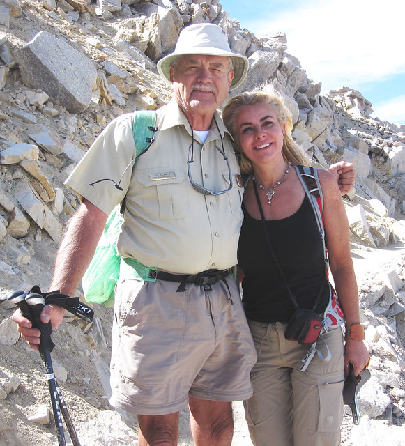
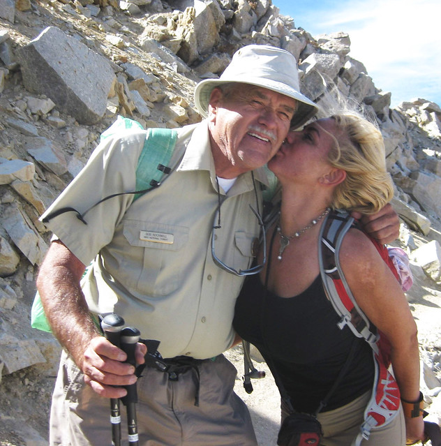
35 We met Jona, from Las Vegas

36j And friendly, too

Joined: Aug 2010
Posts: 20
Member
Member

Joined: Aug 2010
Posts: 20
Bob, I am surprised you didn't have to change your plans to help your new friend from Vegas back to the TH. She looked like she was in real trouble and might not have been able to make it back without your help? Kent

Joined: Jan 2003
Posts: 974
Member
Member

Joined: Jan 2003
Posts: 974
Bob certainly has a knack for milking the maximum from every hike.


Moderated by  Bob R, Doug Sr 

Link Copied to Clipboard
Mt. Whitney Weather Links


White Mountain/
Barcroft Station

Elev 12,410’

Upper Tyndall Creek
Elev 11,441’

Crabtree Meadows
Elev 10,700’

Cottonwood Lakes
Elev 10,196’

Lone Pine
Elev. 3,727’

Hunter Mountain
Elev. 6,880’

Death Valley/
Furnace Creek

Elev. -193’

Powered by UBB.threads™ PHP Forum Software 8.0.0
(Release build 20240826)
Responsive Width:

PHP: 7.4.33 Page Time: 0.044s Queries: 20 (0.035s) Memory: 0.6982 MB (Peak: 0.7461 MB) Data Comp: Off Server Time: 2025-06-13 12:57:44 UTC
Valid HTML 5 and Valid CSS