Mt. Whitney Webcam 1

Webcam 1 Legend
Mt. Whitney Webcam 2

Webcam 2 Legend
Mt. Whitney Timelapse
Owens Valley North

Owens Valley North Legend
Owens Valley South

Owens Valley South Legend
Page 2 of 2 < 1 2
Topic Options
#105370 - 05/22/23 08:11 PM Re: Mt. Whitney Zone 04/28-29/2023 Pics [Re: LostInMtn]
Jim F Offline
Member

Registered: 12/22/02
Posts: 544
Loc: California
LostInMtn,

Just went through your photo album for this outing. These beautiful photos are really useful to many of us, as we are trying to understand the current conditions. Congratulations on your outing!

Jim

Top
#105374 - 05/23/23 04:27 AM Re: Mt. Whitney Zone 04/28-29/2023 Pics [Re: LostInMtn]
Richard P. Offline
Member

Registered: 06/26/03
Posts: 5228
Loc: Ridgecrest, CA
Another outstanding set of photos!

Surprised about the melt on the West Side at 14k...was it as easy as it looks in the photos, or was a slog?

Top
#105375 - 05/23/23 04:30 AM Re: Mt. Whitney Zone 04/28-29/2023 Pics [Re: Richard P.]
Richard P. Offline
Member

Registered: 06/26/03
Posts: 5228
Loc: Ridgecrest, CA
Oh, and was there any evidence that people have ascended from the west side?

Top
#105376 - 05/23/23 08:11 AM Re: Mt. Whitney Zone 04/28-29/2023 Pics [Re: Richard P.]
LostInMtn Offline
Member

Registered: 04/30/23
Posts: 14
Loc: Pasadena, CA
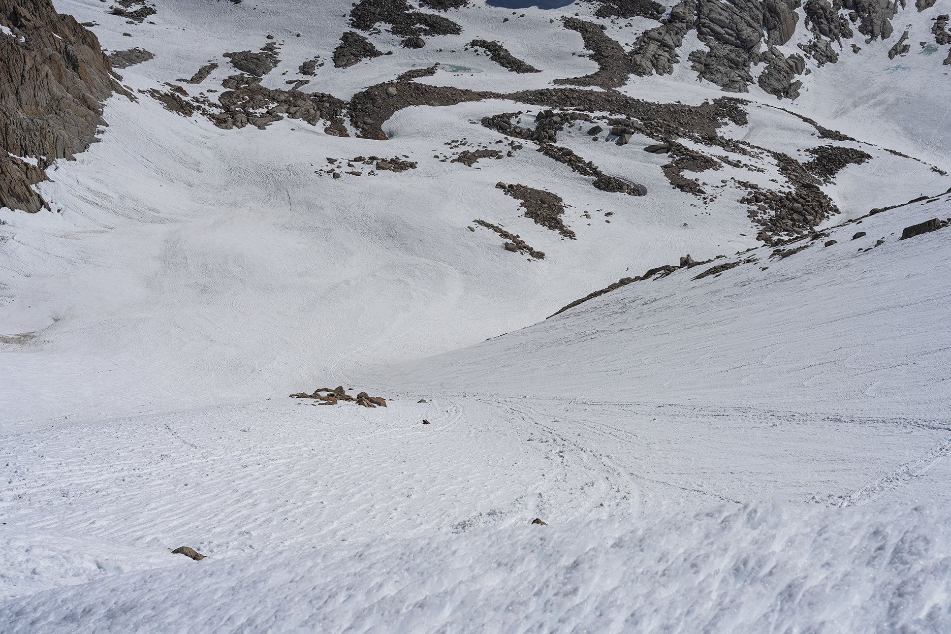
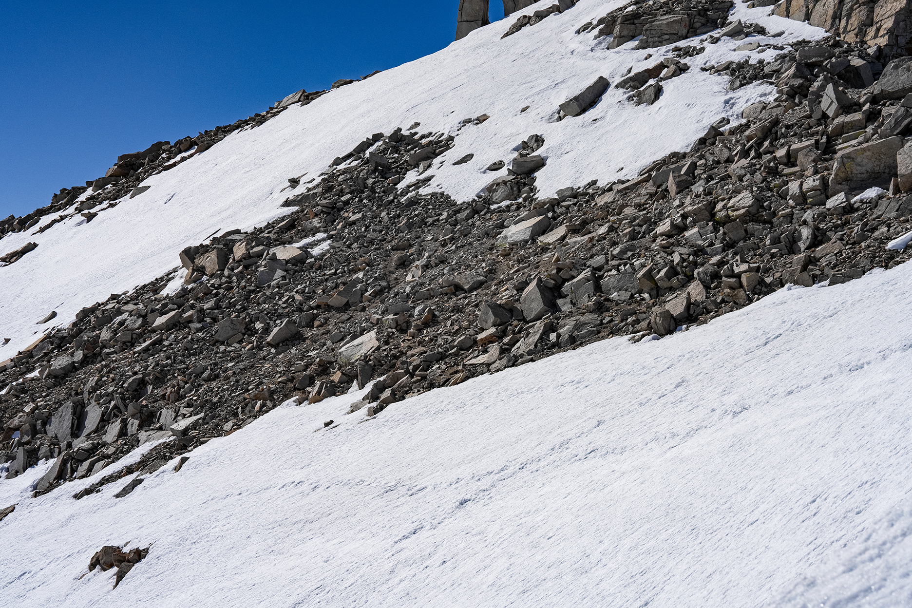
It's 80% dry from Trail Crest to last 400ft. Maybe 3-4 very short "sketchy" sections with decent boot tracks. Late morning and early afternoon wasn't really icy, so I didn't bother to use crampoons.

Last 400ft would be pretty dangerous without crampoons. Hard and icy snow.

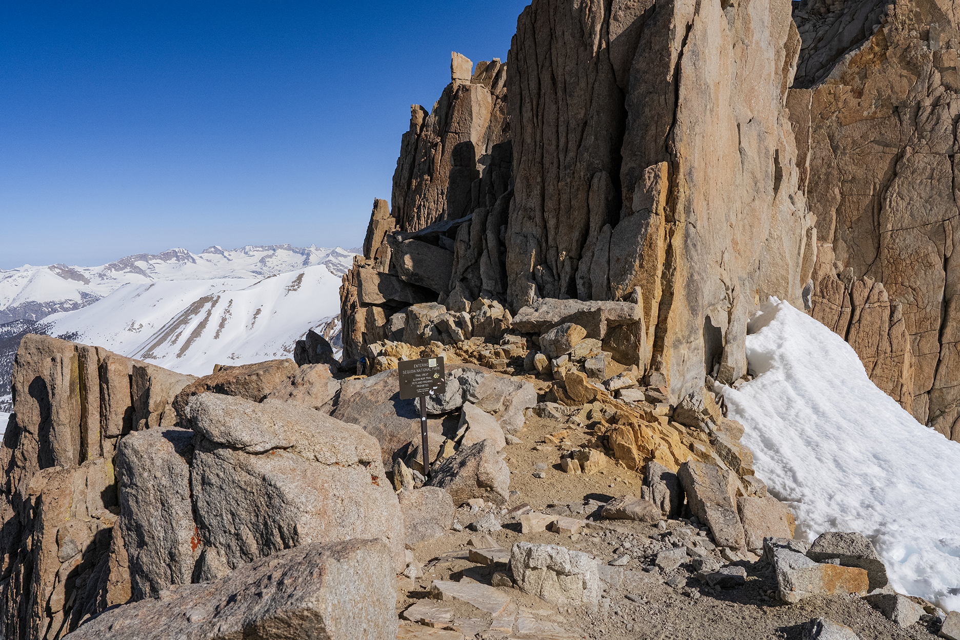
I saw 4 PCT hikers who ascended from the West Side. They said it's ok, some icy sections, but nothing really bad.

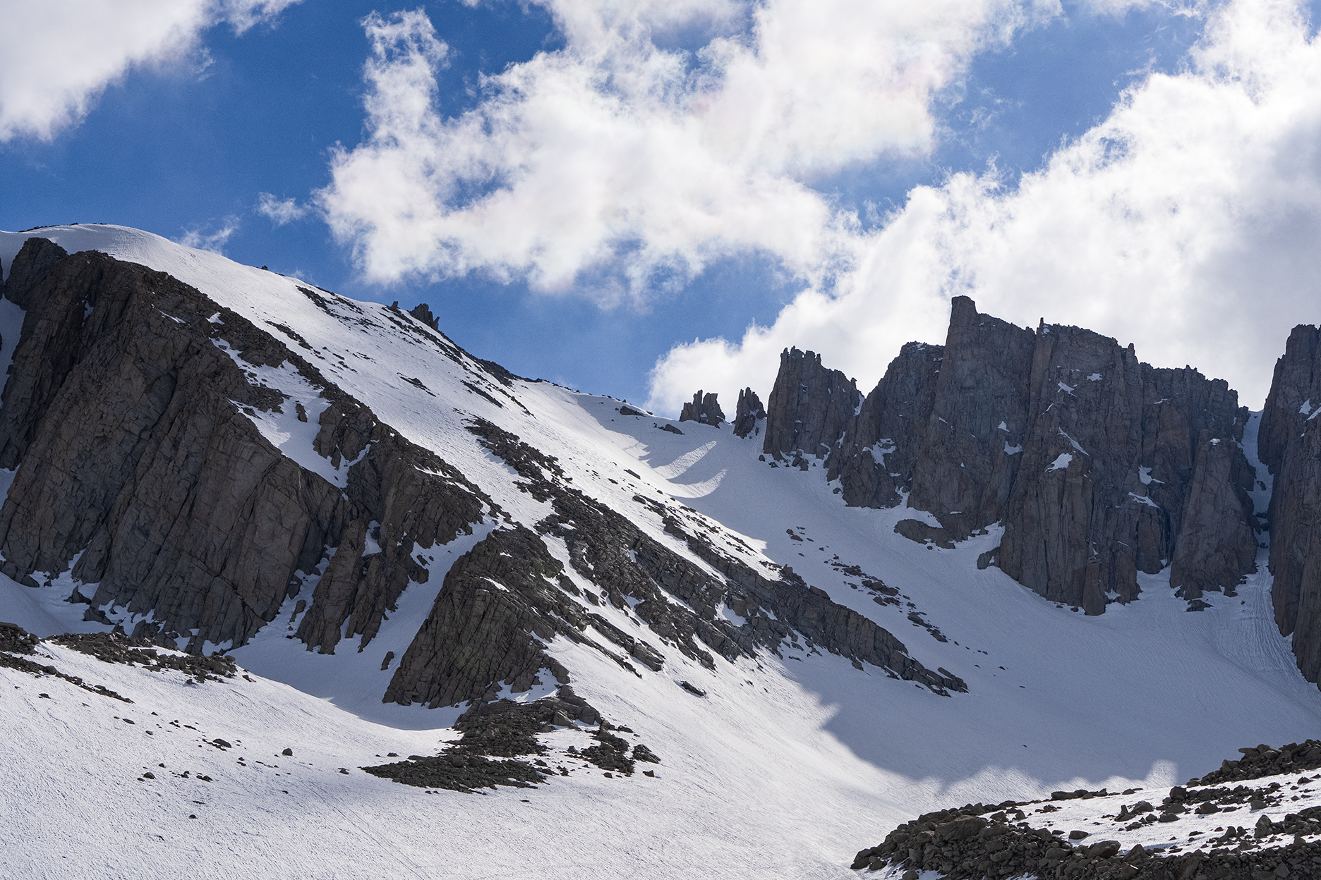
The worst part was from Trail Camp to Trail Crest. First, post holing to the bottom of the chute, then very hard snow, so no step kicking. Later, it gets a bit better, but it's a mix of everything including knees deep snow just before Trail Crest.

Top
#105399 - 05/29/23 08:03 PM Re: Mt. Whitney Zone 04/28-29/2023 Pics [Re: LostInMtn]
LostInMtn Offline
Member

Registered: 04/30/23
Posts: 14
Loc: Pasadena, CA

Top
#105427 - 06/02/23 04:06 PM Re: Mt. Whitney Zone 04/28-29/2023 Pics [Re: Doug Sr]
razmikO Offline
Member

Registered: 05/29/23
Posts: 4
Loc: CA_LosAngeles_LaCrescenta
folks, with regard to the switchbacks, when you mention 'The switchback area most likely be a non event to follow', does this mean that we are to avoid the switchbacks, or take them since they will be uneventful, and easier to navigate?
Our overnight trip is scheduled to start on 6/29, overnight stay, summit on day-2, then return.

Suggestions?
Will the switchbacks have less snow by then? should i travel with an Axe?

Top
Page 2 of 2 < 1 2

Moderator:  Bob R, Doug Sr 
Mt. Whitney Weather Links


White Mountain/
Barcroft Station

Elev 12,410’

Upper Tyndall Creek
Elev 11,441’

Crabtree Meadows
Elev 10,700’

Cottonwood Lakes
Elev 10,196’

Lone Pine
Elev. 3,727’

Hunter Mountain
Elev. 6,880’

Death Valley/
Furnace Creek

Elev. -193’